send link to app
FieldMap WPU app for iPhone and iPad
4.4 (
2784 ratings )
Business
Productivity
Developer: RedZone Software
Free
Current version: 1.3.3, last update: 4 years agoFirst release : 20 Nov 2014
App size: 89.59 Mb
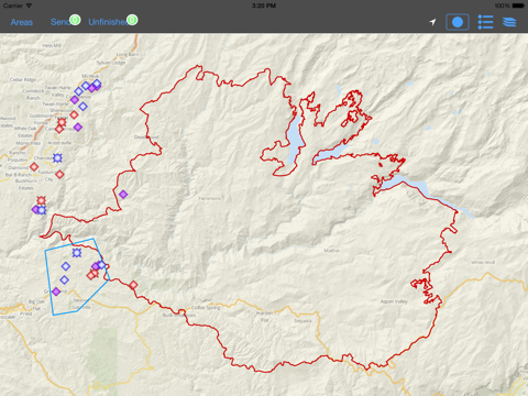
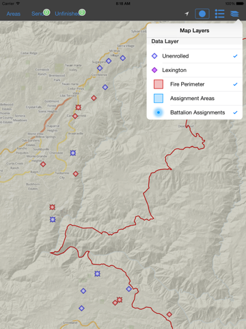
FieldMap by RedZone enables response teams to perform field inspections and complete action forms for assets in the field during a major wildfire. Developed for the Property and Casualty insurance industry, the app allows users to navigate via embedded maps, complete field inspection forms, and capture photos of each property, all without internet connectivity. Captured data is stored on the local device and is uploaded to RedZones servers when internet connectivity allows.
Use of RedZone FieldMap requires an active enterprise subscription.


